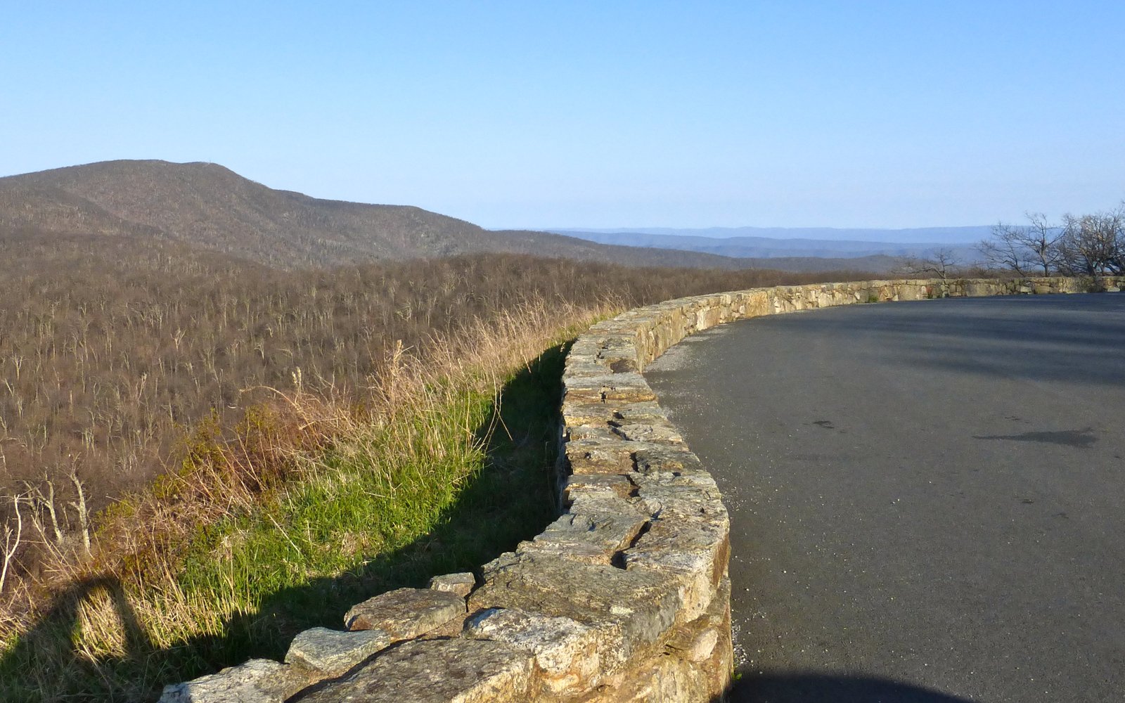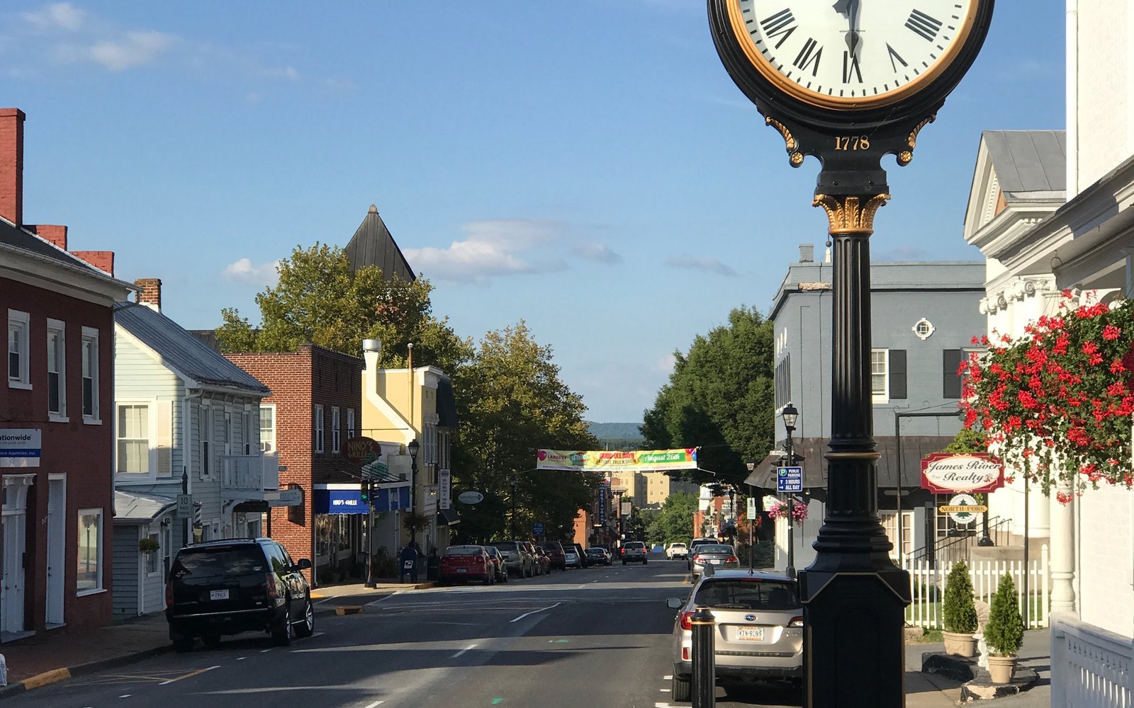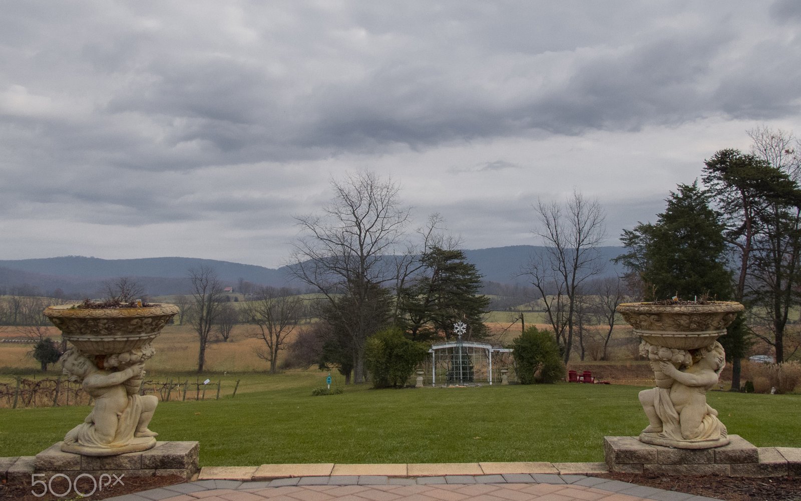
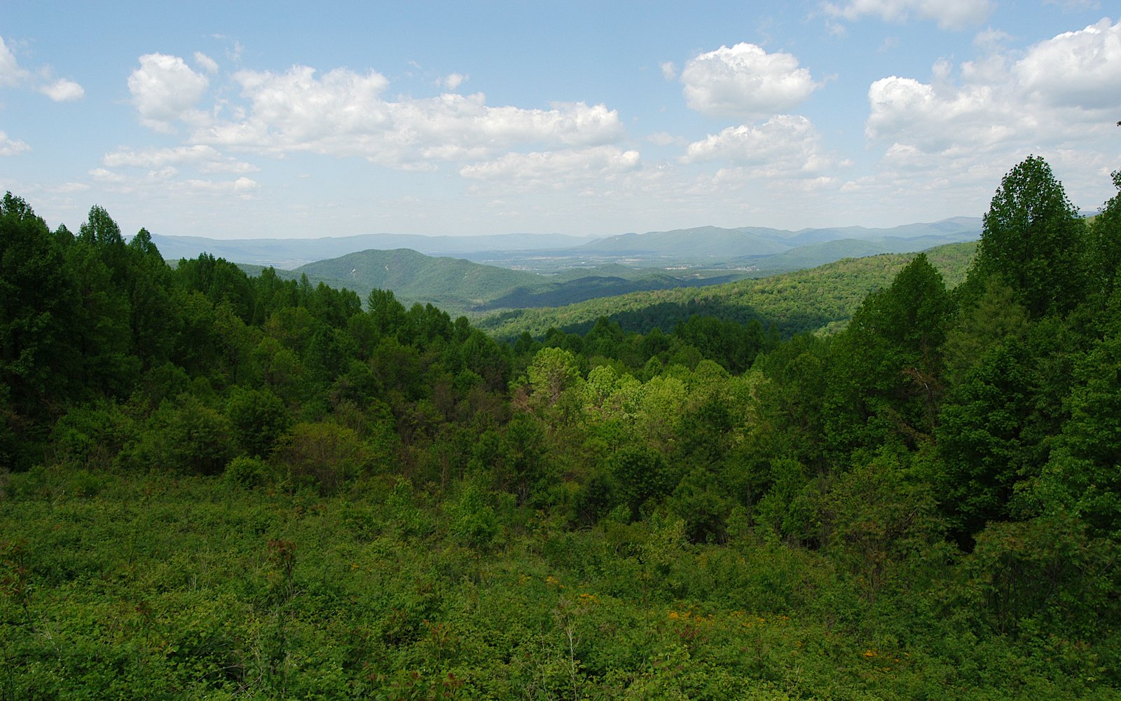
Skyline Drive is the spine of Shenandoah National Park: 105 miles, 75 overlooks, a 35 mph speed limit, and a posted elevation range from about 1,400 ft to 3,680 ft. Mile markers count up from north to south, and concrete posts on the west shoulder mark every mile. This guide walks the road south from the Front Royal entrance and calls out the stops most worth your time.
North District (Mile 0 – 31.5)
- Mile 0 — Front Royal Entrance Station.
- Mile 4.6 — Dickey Ridge Visitor Center. Stop here first for park maps and current trail conditions.
- Mile 17.1 — Range View Overlook. Long views down the Massanutten ridge.
- Mile 21.9 — Hogback Overlook, the longest view of the North District and the Shenandoah River's bends below.
- Mile 22.1 — Mathews Arm Campground turnoff (closest campground to the north entrance).
- Mile 24.1 — Elkwallow Wayside. Burgers, the famous blackberry milkshake, and restrooms.
- Mile 31.5 — Thornton Gap Entrance (US-211 to Luray).
This district is the quietest of the three and the fastest to reach from DC. The trade-off is lower elevation and fewer big-name hikes.
Central District (Mile 31.5 – 65.5)
- Mile 32.4 — Mary's Rock Tunnel. 12'8" clearance — the one spot tall vehicles need to know about.
- Mile 41.7 — Skyland Resort. Highest point on Skyline Drive (3,680 ft), and the trailhead for Stony Man.
- Mile 43 — Whiteoak Canyon trailhead.
- Mile 44.4 — Crescent Rock Overlook, a wide view toward Hawksbill.
- Mile 45.6 — Hawksbill Gap. Trailhead for Hawksbill Summit, the park's highest peak.
- Mile 50.7 — Dark Hollow Falls trailhead.
- Mile 51 — Big Meadows. Visitor center, lodge, dining room, campground, and the park's only open meadow. Sunset from here is famous.
- Mile 56.4 — Bearfence Mountain — short scramble, big payoff.
- Mile 57.5 — Lewis Mountain Campground, the park's smallest and most low-key.
- Mile 62.8 — South River Falls trailhead and picnic area.
- Mile 65.5 — Swift Run Gap Entrance (US-33 to Harrisonburg).
Nearly everything the park is famous for lives in these 34 miles. That also means the parking lots at Whiteoak, Hawksbill, and Dark Hollow fill by 9 a.m. on nice weekends.
South District (Mile 65.5 – 105)
- Mile 79.5 — Loft Mountain Campground and Wayside, the park's largest campground.
- Mile 81.1 — Doyles River trailhead.
- Mile 81.2 — Big Run Overlook, the biggest watershed view in the park and rarely crowded.
- Mile 84.8 — Blackrock Summit — short loop over a boulder field.
- Mile 90 — Riprap parking area. Backcountry feel with fewer cars.
- Mile 105 — Rockfish Gap Entrance (I-64 / Waynesboro). The Blue Ridge Parkway begins here and continues 469 miles south.
The South District gets a fraction of the Central District's traffic with comparable views. If you're visiting on a peak fall weekend, start here.
Stops in our directory
How to drive it in the time you have
Half a day (3–4 hours)
Enter at Thornton Gap, drive south to Big Meadows, hike Dark Hollow Falls, and exit at Swift Run Gap. About 34 miles of road and the park's greatest hits.
One full day
Enter at Front Royal in the morning, work south through the North and Central districts with two short hikes, and exit at Swift Run Gap around dinner. Roughly 65 miles with plenty of stops.
A weekend
Drive the North and Central districts on day one from a base in Luray, then run the South District on day two and finish at Rockfish Gap for dinner in Waynesboro or Staunton.
Practical tips
- No gas on Skyline Drive itself — fill up in Front Royal, Luray, Elkton, or Waynesboro before entering.
- Cell service is spotty everywhere. Download offline maps before you go.
- Bring layers. Summit overlooks are often 10–15°F cooler than the entrance towns.
- Black bears are common, especially around Big Meadows at dusk. Don't approach or feed them.
- Mary's Rock Tunnel at mile 32.4 has a 12'8" clearance — the only real restriction for RVs and trailers.
- Bicycles are allowed on the road but not on trails, and the shoulders are narrow. Ride early.
- Sunrise and sunset overlooks are the best hours on the road, and almost empty.
- Waysides, lodges, and campgrounds close for the winter; the road itself closes during ice and snow events.
Frequently asked
How long does it take to drive Skyline Drive end to end?
About three hours of pure driving at the 35 mph speed limit. Allow six to eight hours to actually enjoy overlooks, a short hike, and a meal.
What's the best way to do Skyline Drive in one day?
Enter at Thornton Gap (mile 31.5) from Luray. Head south through the Central District — Big Meadows, Dark Hollow Falls, Bearfence — and exit at Swift Run Gap (mile 65.5). You see the headline sights without driving the full 105 miles.
Is Skyline Drive open in winter?
Usually yes, but it closes during snow and ice events — sometimes for days. Check the NPS road status before driving up between November and March.
How much does Skyline Drive cost?
$30 per vehicle for seven consecutive days, $25 for a motorcycle, or $15 per person on foot or bicycle. Annual and America the Beautiful passes also cover it.
Which direction is best to drive Skyline Drive?
North to south follows the mile markers and puts most overlooks on your right, which makes pulling off easier. South to north is better for afternoon light on the western views.
Can you drive Skyline Drive with an RV?
Yes. The only clearance restriction is Mary's Rock Tunnel at mile 32.4 (12'8"). Overlook pull-offs fit most rigs, though the largest ones are tight at the busiest stops.
Where are the restrooms on Skyline Drive?
At the visitor centers (Dickey Ridge mile 4.6, Byrd at Big Meadows mile 51), the waysides at Elkwallow, Big Meadows, and Loft Mountain, and the campgrounds — all seasonal. Winter facilities are extremely limited.