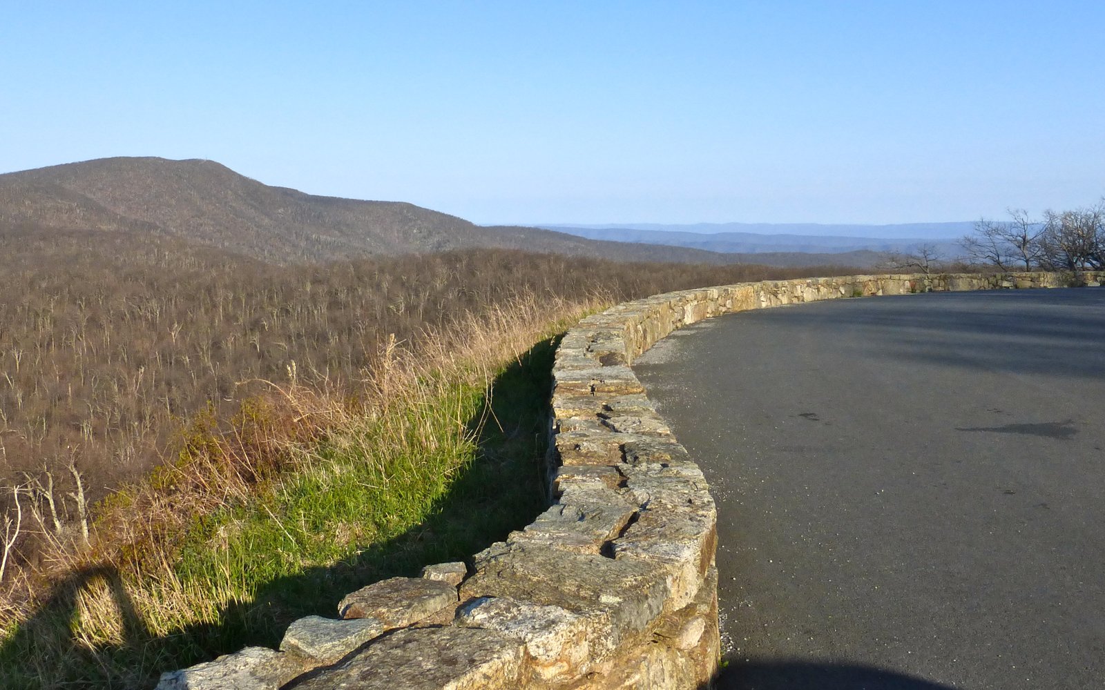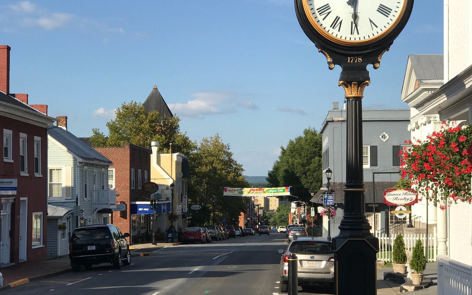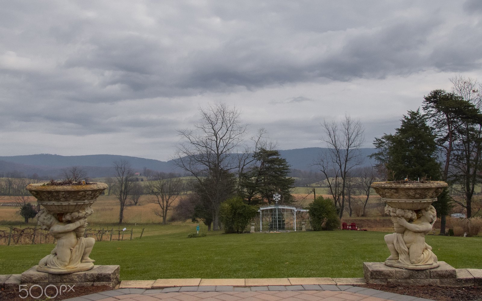
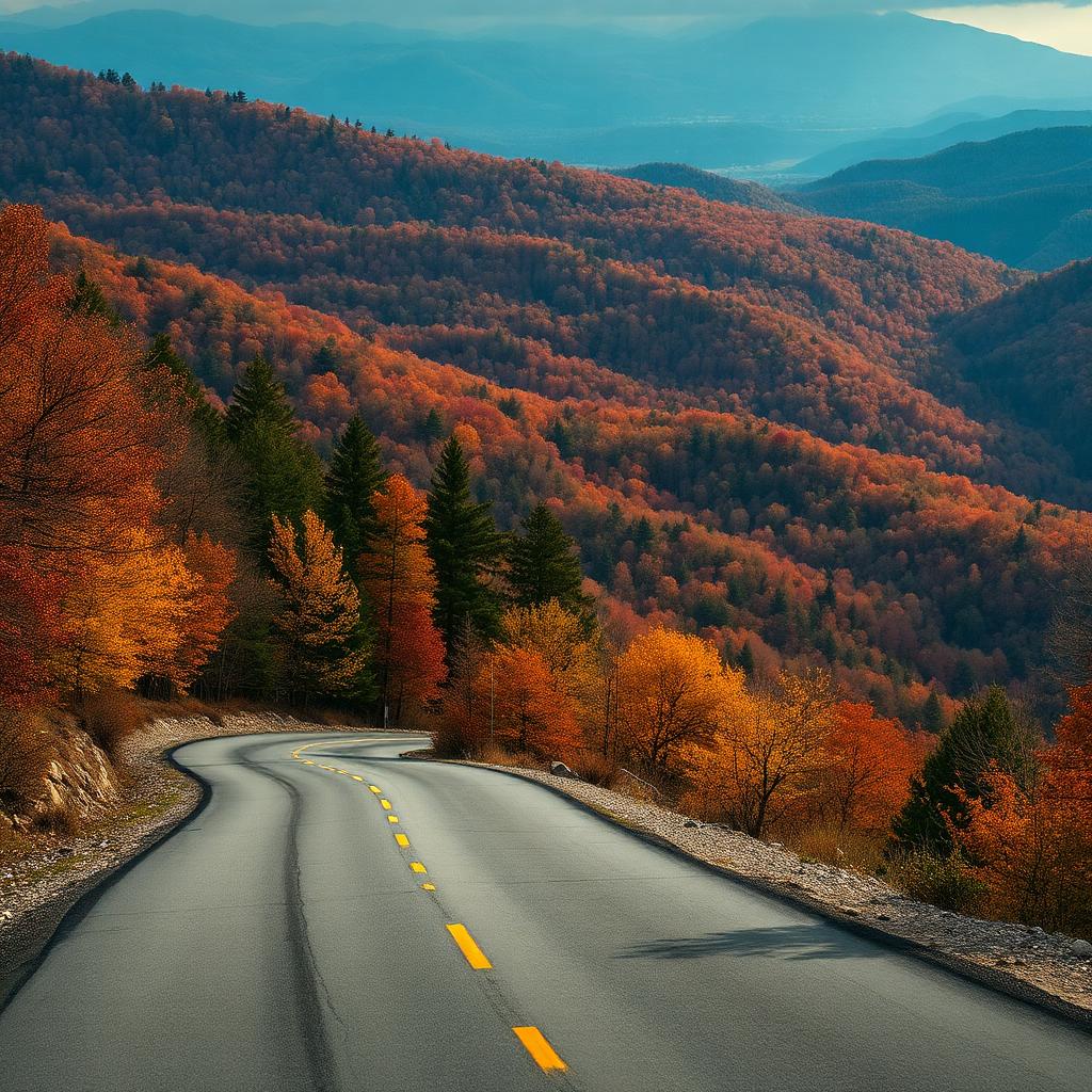
Skyline Drive is the famous one, but it's far from the only road in the Shenandoah Valley worth driving for its own sake. These seven routes each show a different side of the region — orchard country, river gorges, high-country pasture, and the empty backside of the Allegheny ridge.
The seven drives, ranked by what they show you
1. Skyline Drive — the headline
105 miles, 75 overlooks, $30 per vehicle. Covered in detail in our mile-by-mile guide. The default scenic drive.
2. Blue Ridge Parkway, Northern Section — the free alternative
Picks up where Skyline ends at Rockfish Gap (Waynesboro) and runs 217 miles south to the North Carolina line. No entrance fee. The first 50 miles (to Roanoke) hug the Valley's eastern wall.
3. Route 33 over the ridge — the local cut-through
US-33 climbs out of Harrisonburg, crosses Skyline Drive at Swift Run Gap (mile 65.5), and drops east toward Stanardsville. Fewer overlooks than Skyline, but the views from the ridge crossing are free and 10 minutes from town.
4. Goshen Pass (Route 39) — the river gorge
Route 39 west of Lexington follows the Maury River through a steep limestone gorge. Pull-offs access swimming holes and one of the prettiest drives in the state — and it's only 8 miles long.
5. Highland County loop — Virginia's Switzerland
Drive west on US-250 from Staunton over Shenandoah Mountain into Highland County. High-elevation pasture, the highest mean elevation of any county east of the Mississippi, and the smallest population. Loop back via Route 654 / Route 600 for a full afternoon.
6. The apple-blossom route — Frederick County back roads
Route 11 north of Winchester plus the orchard back roads around Cross Junction and Gainesboro are spectacular in late April when the apple trees bloom. Slow down — the locals are stopping to take photos too.
7. Reddish Knob Road — the highest drivable point in Virginia
From Briery Branch (west of Harrisonburg), Forest Road 85 climbs to 4,397 ft at Reddish Knob. The road is narrow, winding, and not maintained in winter — but the 360° view from the summit is the best free overlook in the state.
Stops worth building the drive around
Where to stop for food along each route
The one weakness of a Valley scenic drive is food — most of these routes run through country with nothing open. Plan around the towns at either end: Harrisonburg and Elkton bracket the Route 33 crossing; Lexington anchors Goshen Pass; Staunton and Monterey bookend the Highland County loop; Winchester and Middletown cover the apple-blossom roads; and Harrisonburg is the only real option near Reddish Knob. Inside the park, Skyland and Big Meadows are the only dining, and both close for the winter.
Practical tips for any Valley drive
- Fall foliage peaks mid-October to early November on Skyline; a week earlier in Highland County (higher elevation).
- Gas stations get sparse west of I-81. Fill up before heading over the ridge.
- Cell service drops in Highland County, on Reddish Knob, and on long stretches of Skyline Drive. Download offline maps.
- Sunrise overlooks on Skyline are spectacular and almost empty — the entrance station is unstaffed before dawn, but you still owe the fee.
- Motorcycles and cyclists use all of these roads heavily on weekends. Expect slow-moving traffic in the curves.
- Winter closes Reddish Knob Road and gates sections of Skyline Drive during ice events; check before committing to a route.
- Deer are a genuine hazard at dawn and dusk on every rural route here.
Frequently asked
What is the most scenic drive in the Shenandoah Valley?
Skyline Drive (105 miles through Shenandoah National Park) is the most famous and most scenic. For a free alternative, the northern Blue Ridge Parkway picks up at Skyline's southern end and runs another 50 miles south to Roanoke with comparable views.
Is Skyline Drive worth the $30 fee?
Yes — it covers seven consecutive days and includes access to all 75 overlooks, hundreds of miles of trails, and the visitor centers. If you'll visit any other national park within a year, the $80 America the Beautiful pass is a better deal.
What's the highest drivable point in Virginia?
Reddish Knob on the Augusta–Rockingham county line tops out at about 4,397 ft. It's reached via Forest Road 85 from Briery Branch, west of Harrisonburg. The road is narrow, partially gravel, and closed in winter, but the 360° summit view is unmatched.
What's the best free scenic drive in the Shenandoah Valley?
Goshen Pass on Route 39 west of Lexington — eight miles of river gorge with no fee and multiple pull-offs. Reddish Knob Road and the US-33 ridge crossing are the other strong free options.
How long does Skyline Drive take end to end?
Plan three hours of pure driving at the 35 mph limit, and five to six hours realistically once you stop at overlooks. Most visitors drive a section rather than the full 105 miles.
Can you drive these routes in an RV or with a trailer?
Skyline Drive and the Blue Ridge Parkway are fine, though Skyline has one low tunnel at Mary's Rock (12'8"). Reddish Knob Road, Goshen Pass, and the Highland County back roads are too narrow and steep for large rigs.